About
Who We Are
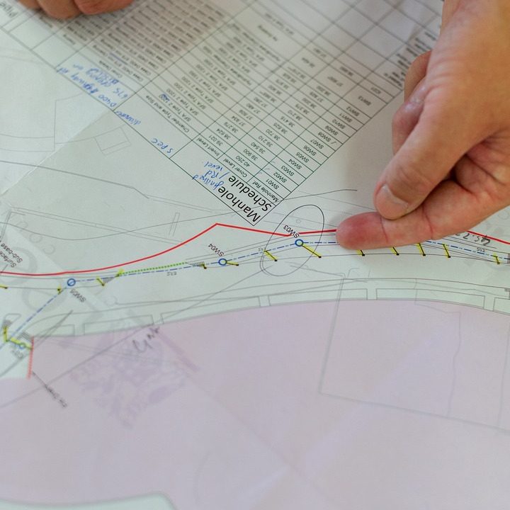
Marshal Land Surveying Services is a licensed team providing accurate, defensible measurements for design, permitting, and construction. We combine decades of field experience with meticulous boundary research and quality control.

Our Technology
From robotic total stations and GPS/RTK to UAV photogrammetry, we use modern instruments and workflows to deliver precise data and clear deliverables.
