Precise Land Surveying for Construction and Development
- We deliver accurate Boundary and Topographic Surveys, Construction Staking, ALTA/NSPS Land Title Surveys, As-Builts, Elevation Certificates, and Drone Mapping troughout state of California, based in Los Angeles County.
- Trusted by civil engineers, builders, and property owners for reliable data and fast turnaround.
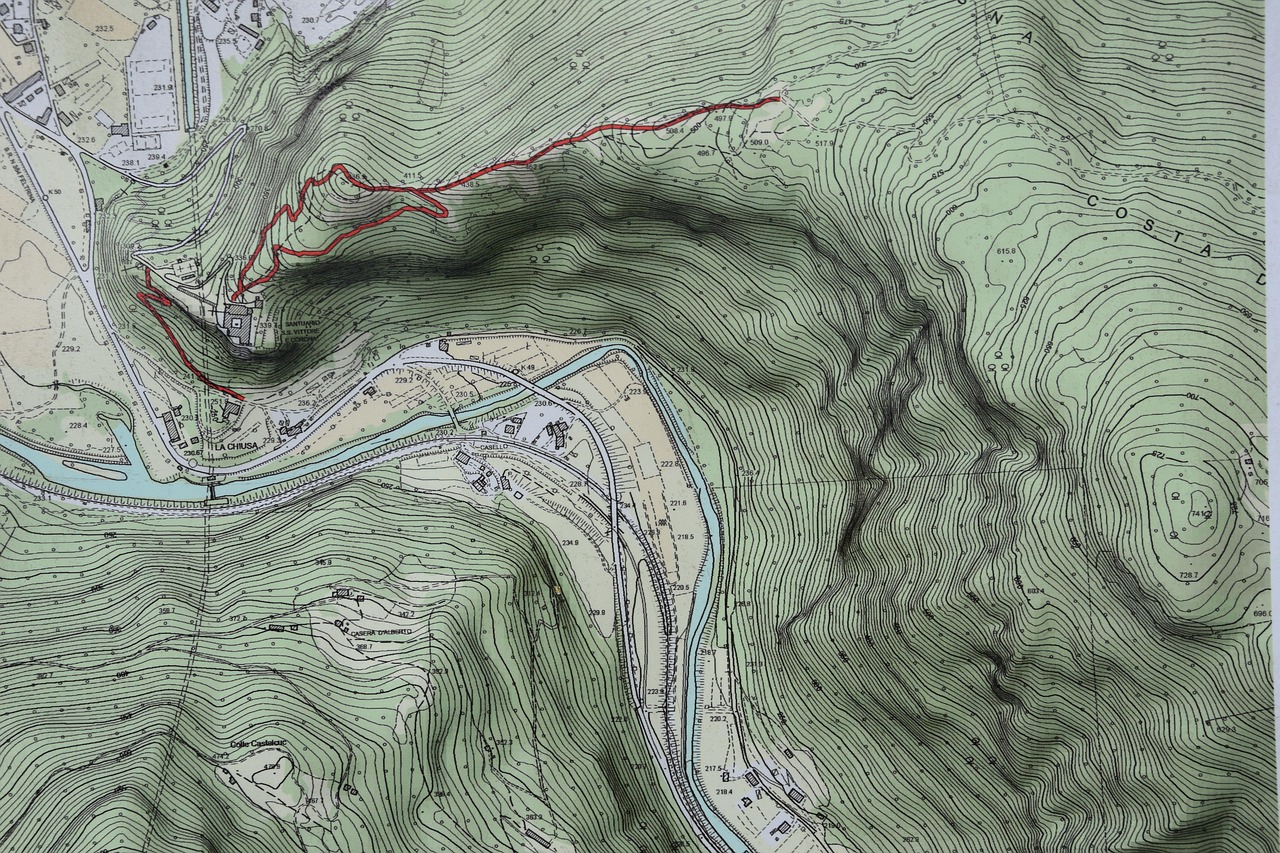
Property line recovery, deed research, and detailed topographic mapping to support design, permitting, and site development.

COMPREHENSIVE SITE SURVEY SERVICES
Existing Conditions, Site Features, Utilities, Improvements

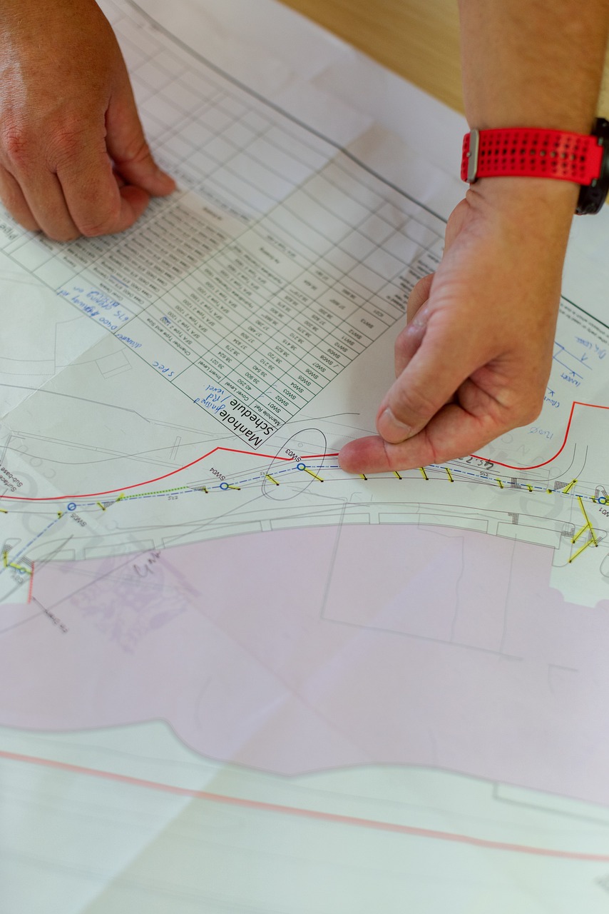
Precise layout of utilities, buildings, roads, and grades from approved plans to keep your project on schedule.
Precise layout of utilities, buildings, roads, and grades from approved plans to keep your project on schedule.

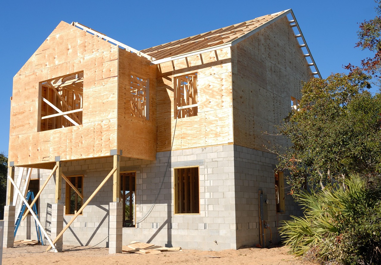
Comprehensive land title surveys and as‑built documentation that meet lender and agency standards.
Why Choose Us

Licensed Surveyor
(BPELSG)
GPS/RTK & Drones
Fast Turnaround
Construction Expertise
Need to talk to us?
818-974-6394
info@mlssla.com
